
Pathfinder Aerial & Spatial
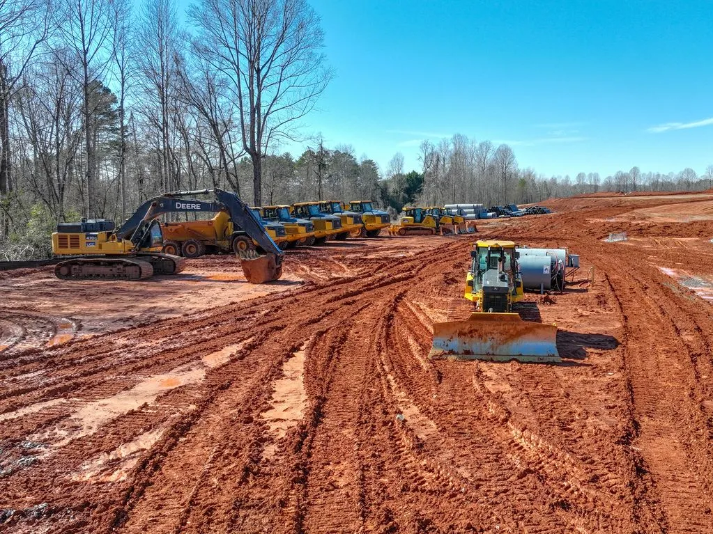
Aerial view of earthmoving equipment on an active construction site

Pathfinder Aerial & Spatial

A clear view of the work, from above.

Aerial visual documentation, spatial reference imagery, and professional media for construction, infrastructure, and property teams.

Discuss a project

01 / DOCUMENTATION

Construction progress visibility

Document active projects with repeatable aerial imagery that helps teams review site conditions, communicate updates, and keep visual records over time.

  • Progress and site condition imagery
  • Asset audits and documentation
  • Visual support for construction and VDC teams

02 / SPATIAL PRODUCTS

Maps, models & reference imagery

Turn aerial capture into clear spatial context for project coordination, asset records, and operational reference.

  • 2D orthomosaic maps
  • 3D models
  • Surveyor support imagery
  • Matterport scans and data collection

03 / SPECIALTY CAPTURE

Thermal imaging

Aerial thermal capture can add another visual layer to project or asset documentation. Scope and deliverables are tailored to the site and intended operational use.

04 / PROFESSIONAL MEDIA

Photography, video & 360 capture

Capture and present project sites and properties through professionally edited photos, video, and 360 camera imagery.

Pathfinder provides visual documentation and spatial reference imagery for informational and operational purposes only. Services do not include land surveying, boundary determination, legal measurements, or work requiring a licensed surveyor or other regulated professional.

Need support for your next project?

Tell us about it →