About Pathfinder
Project visibility, built from a better point of view.
Pathfinder UAV Services LLC provides nationwide aerial, spatial, and media services for construction, infrastructure, and property operations. We collect and deliver visual data that helps teams see site conditions, document assets, and share project context.
Focused aerial & spatial capability
Our work supports construction and development teams, infrastructure projects, property operations, real estate professionals, land owners, and surveyors who need supporting visual data. Services include aerial documentation, spatial reference imagery, 2D orthomosaics, 3D models, thermal imaging, and professional media.
We support single-site and multi-site work nationwide, with project scope shaped around the site and the information the client needs to document.
FAA Part 107
Our operators are fully certified.
Fully insured
Professional coverage for our operations.
Nationwide
Single- and multi-site project capability.
Since 2022
Member of the Chester County Chamber of Commerce.
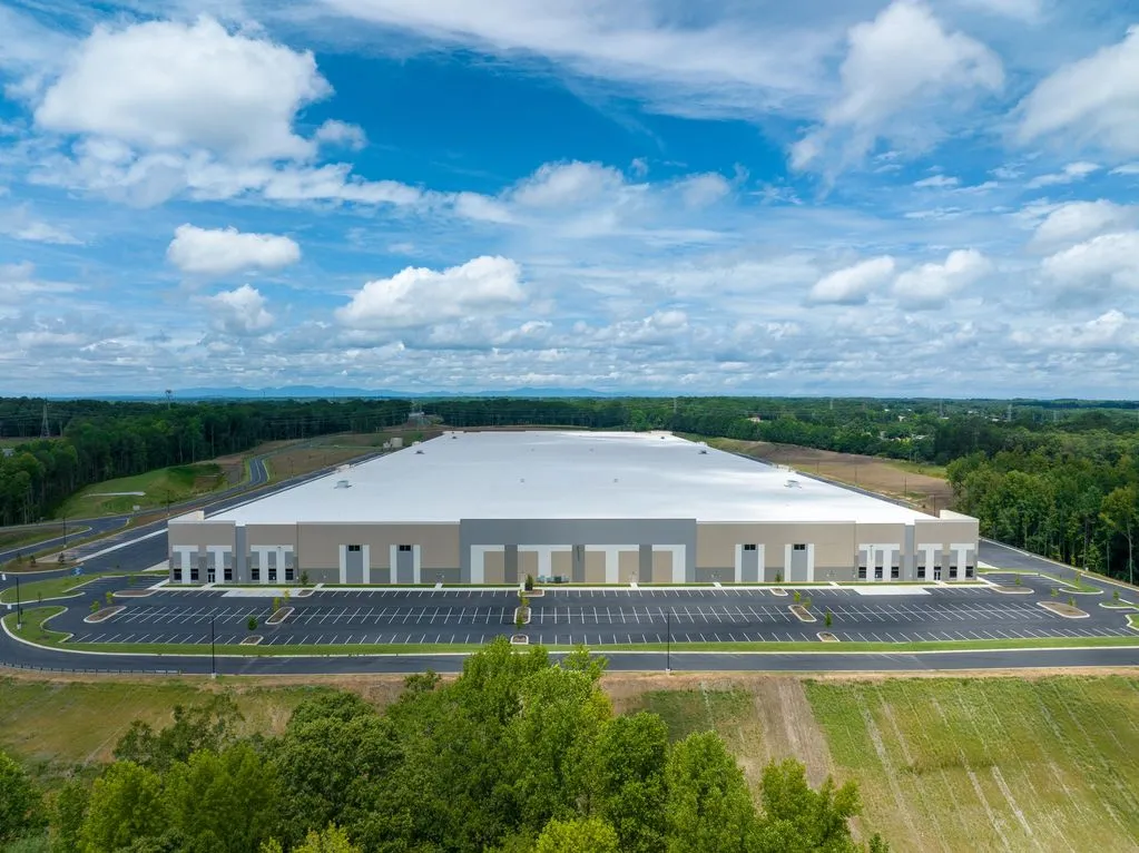
Our visual documentation and spatial reference imagery are for informational and operational purposes. Pathfinder does not provide land surveying, boundary determination, legal measurements, or other services requiring a licensed surveyor or regulated professional. Deliverables may be used as supporting materials by licensed professionals or client teams.