
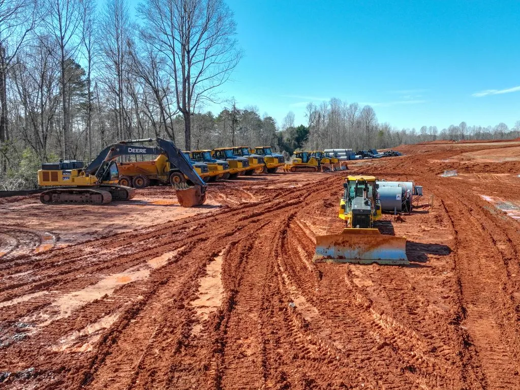
Clear insight for every site
Aerial intelligence for construction and infrastructure.
High-resolution drone imagery, spatial data, and professional media for safer, clearer project decisions.
Request a FlightAerial & Spatial
One focused team. Clear project visibility.
Clear insight for every site.
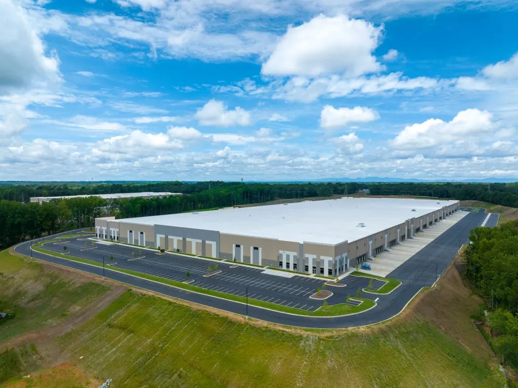
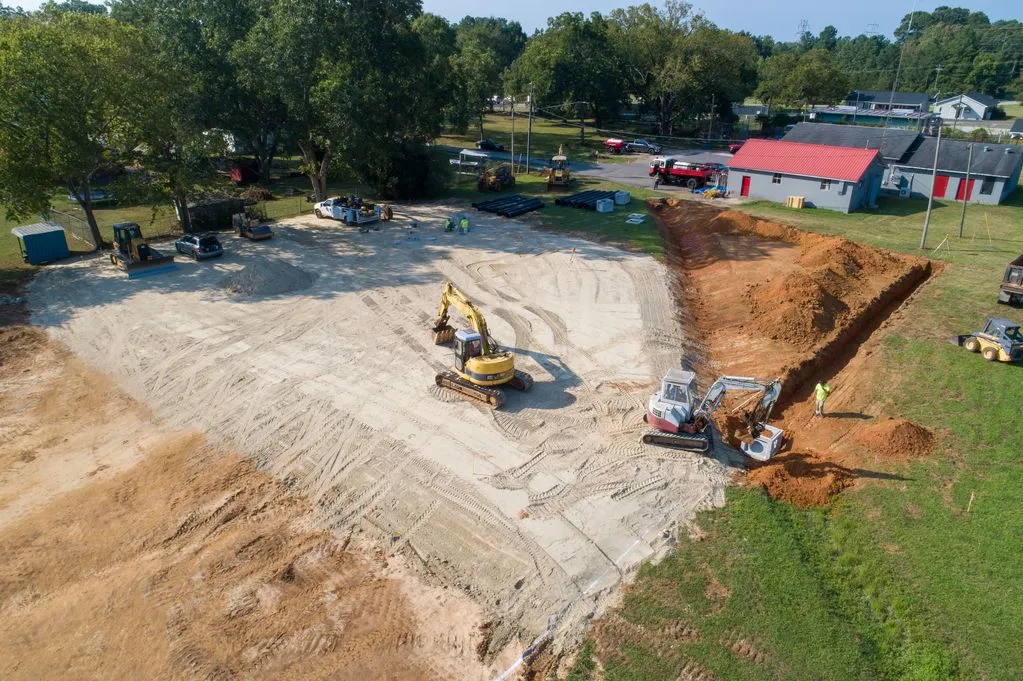
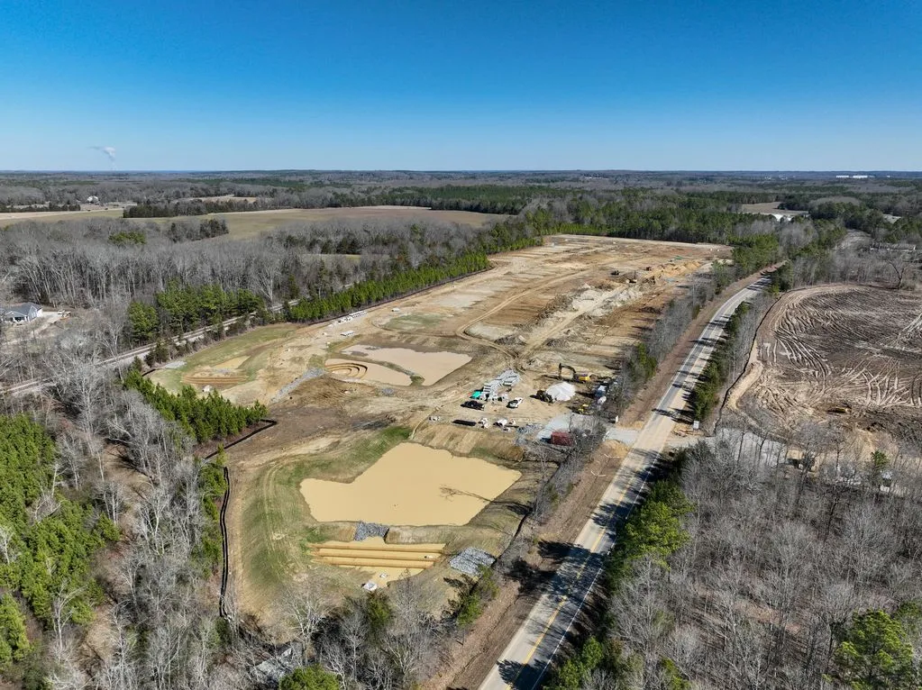
Pathfinder Aerial & Spatial delivers aerial visual documentation and spatial reference imagery for construction, infrastructure, and property operations. We help teams track progress, document assets, and communicate site conditions with consistent visual data.
Nationwide
Single- and multi-site projects
FAA Part 107
Certified and fully insured operators
About Pathfinder
Pathfinder UAV Services LLC provides nationwide aerial, spatial, and media services for construction, infrastructure, and property operations. Our team delivers consistent data collection and visual documentation across single-site and multi-site projects.
We operate under full FAA Part 107 certification and are fully insured, providing dependable visual data for project communication and operational visibility.
Learn moreAerial & ground data
Visual collections tailored to project and asset documentation.
Spatial deliverables
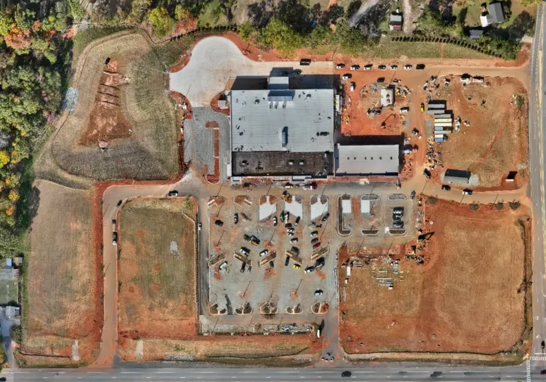
2D orthomosaics, 3D models, and site reference imagery.
Nationwide capability
Support for single-site and multi-site work across the U.S.
Fully insured
Professional operations by FAA Part 107 certified pilots.
Have a project in mind?